Lower Twin Island Lake to Garnet Lake
(11 miles, +3,200/-3,100 feet).
Today was one of those happy accidents. I have frequently found that Plan Bs end up being better than Plan As, maybe not because they are objectively better, but because they often involve surprise.
I had no idea how spectacular the upper basin of the North Fork San Joaquin would be.
It quite simply was not on my radar.
And I had not even planned to visit it!
But now not only did I have a spectacular day in it, I am vowing to return, even though (as you will see) I left some blood on the field of engagement.
The morning started a bit soggy due to condensation overnight. As UltraShuffle noted “we essentially camped in a creek bed.” But none worse for the wear, we ate a warm breakfast, packed up, and headed out.

Soon we had to re-cross the outlet that we previously thought would be hard. It was just as easy this morning.


Then we had to go up to a ridge above the lake and then back down to the lake on the other side.


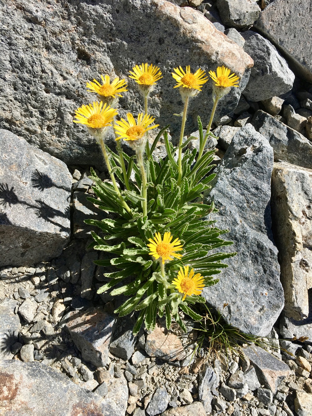
We spent the next couple of hours following a branch of the North Fork up a beautiful little canyon filled with dark black rocks and bright yellow flowers.


We reached Lake 10197 and then Lake 10233 where the upper basin really started to open up.


We walked through meadows that gradually turned to granite table lands.


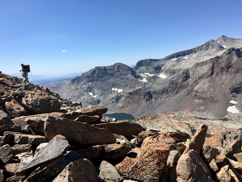
Eventually we had to start our climb up to Clinch Pass. I was just a little worried about a cliff band that we could see at 10,800 feet, but we found a chute through it that allowed for class 2 climbing all the way, mostly on grassy ramps.


And then we saw this:

None of the options looked great. There were many chutes, and who knew which one would allow for a climb without exposure? We decided to head up the chute just to the right of center in the above photo since it seemed to have a pure-talus route all the way to the top.


At about 11,100 feet the terrain flattens out before becoming quite steep. And worse, the talus is extremely unstable in this section. We fanned out to keep from dropping rocks on each other. And as we got higher and higher, little slides became more frequent.
One thing that really unnerved me was the tendency for slides ABOVE me to get triggered when I stepped, as if I was pulling the bottom card out of a house full of cards that were ready to collapse.


MixMaster and the others wisely made their way towards a cliff wall where the talus was more stable and there were handholds to help negotiate the climb.

But I stubbornly stuck to my route up through the rocks. Step, step, slide. Step, step, slide.
In one of the slides, two rocks decided to converge on my finger

Fortunately, it didn’t get any worse. All we needed was patience and we would be fine.


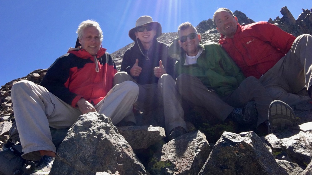
The notch we chose took us about 70 feet higher than the pass proper, and we sat there for a bit recovering on the windy ridge


After snacking and rehydrating we made our way down the north side of Clinch Pass. Fortunately it was less steep and the talus much more stable.


We wound our way down the ridge above upper Davis Lake and then crossed a talus field to get to its shore.


It was a little past high noon and we were hot — perfect conditions for an alpine swim!


After a couple of hours of swimming, lunching, and drying out our gear, we headed down to lower Davis Lake. We passed a woman looking for a campsite for her group and she said “I wasn’t expecting anyone to come from this direction!”


Now all we needed to do was find the John Muir Trail. Easy right? Nope. All four of us walked right past the turnoff sign for Davis Lakes! Fortunately we realized our mistake after only a couple hundred meters or so.


Soon we were reliving an earlier trip MixMaster and I had done with BarnFinder as we headed south towards Thousand Island Lake.


At the lake we took a break and decided to head to Garnet Lake to camp.


It was Saturday night and the lake was packed! (I should have known). Rainbow T said it looked like a city. It was getting dark and we were running out of time.
We eventually found a spot a little below the lake that was established, protected and — amazingly — it had a spectacular view of Ritter over the lake.


We enjoyed dinner for our last night on trail (I especially enjoyed my mashed potatoes!) and we drifted off to sleep, safely back in the suburbs of Mammoth Lake….

This has to be the finest post from you to date. Brilliant images! I was in The Bristlecones a few days ago myself.
LikeLiked by 1 person